A flood watch goes up across every main Hawaiian island at 6 a.m. Tuesday and runs through late Wednesday night, and the National Weather Service in Honolulu says the greatest threat sits over Oahu and Maui County. If you are in Waikiki this week, or landing in the middle of it, we read the watch and the forecast discussion behind it to see what actually changes for a stay like ours. Short version: not the trip, but the order of the days.
What happened
NWS Honolulu first issued the flood watch at 3:05 a.m. HST on Monday, Oct. 26, and kept it in effect in an update at 3:30 p.m. HST the same day. The cause, in the weather service’s words, is “a trough moving over the state from the southwest” that “will bring abundant tropical moisture late Tuesday through at least Wednesday night.”
The Honolulu Star-Advertiser’s Oct. 26 report adds two things the watch text itself does not spell out. It reports 2 to 8 inches of total rain from Tuesday through Thursday, heaviest at higher elevations, and it reports forecasters saying the watch could be extended if unsettled weather continues into Thursday.
As of the 3:30 p.m. HST Monday update:
| Item | What the source says |
|---|---|
| Alert | Flood Watch (not a warning) |
| Where | All main Hawaiian Islands; the Honolulu Metro and East Honolulu zones are both on the list |
| When | From 6 a.m. HST Tuesday through late Wednesday night |
| Greatest threat | Oahu and Maui County, “all islands are at risk” |
| Impacts named | Overflowing streams and drainages, road closures, property damage in urban or low-lying spots, landslides on steep terrain |
What it changes for a Waikiki stay
The timing is the useful part. The forecast discussion issued at 3:45 p.m. HST Monday (the 8:04 p.m. update made no major changes) says chances for widespread rain “should remain relatively low in the morning” on Tuesday, when the watch starts, and that “the flood threat will be greatest Tuesday night through Wednesday night.” So Tuesday morning is the window to get things done, and Wednesday is the day to have nothing scheduled outside.
The impacts are not just about roads. The watch lists streams and drainage ditches overflowing, roads in several areas closing, runoff damaging property in urban and low-lying spots, and landslides on steep slopes. The Honolulu Metro zone, which takes in Waikiki, is on the list, so low streets and underpasses in town count too. For anyone who planned a drive-out day this week, to the North Shore, the windward side, a trailhead, that is the item to take most seriously. Inside Waikiki, on foot, we would expect wet sidewalks at best and flooded low corners during the heavy cells, and we would not walk through moving water.
Thunderstorms are in the mix. The watch mentions “isolated thunderstorms with intense rain rates,” and the forecast discussion says strong thunderstorms with locally damaging gusts may develop on Wednesday. That is a reason to stay off the sand and out of the water while cells are around, whatever the surf looks like.
It does not end neatly on Wednesday night. The same discussion expects the heavy rain threat to diminish Thursday and Friday, but says spotty heavy showers “could require the Flood Watch to be extended,” with trade winds possibly returning briefly Friday night and Saturday.
What we would do — and what we wouldn’t
We don’t rent a car, and our normal Waikiki day already fits in a small circle: coffee in the room, a walk, groceries, takeout, and a happy hour around 2 p.m. or beer and wine back at the suite. A flood watch mostly asks us to shuffle that circle around.
Tuesday morning, we would shop. Beer from the Kuhio Avenue Target, a couple of bottles of wine from Longs, fruit, something easy for the microwave, and enough for two days. If you have not walked to the Kuhio Avenue Target yet, we wrote up how the Oahu Target stores work for a walkable stay. The point is to be done before the afternoon, when the discussion says moisture and the flood threat build.
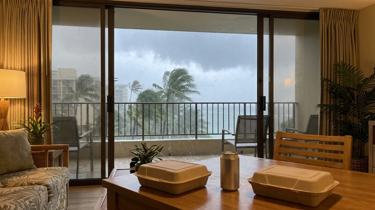
Tuesday night and Wednesday, the suite is the restaurant. We would pick up takeout early rather than walk out into a downpour at dinner time. If a happy hour a few blocks away is on the list, we would go on a dry spell in the afternoon and walk back the same way, not plan a bar-hop. Two short trips beat one long one in rain like this.
Anything off the Waikiki grid moves to the weekend. If you booked a rental-car day, a tour van, or a hike for Wednesday, we would try to move it to Saturday. Friday night into Saturday is when the forecast discussion says trade winds may briefly return, and Thursday and Friday can still carry heavy showers, so we would confirm on Friday evening before committing.
What we would not do: cancel the trip, or spend the week refreshing radar. A flood watch means conditions could produce flooding; it is not a warning that flooding is happening. If you fly in or out on Wednesday, the watch says nothing about flights, so the airline is your source. We would simply leave for the airport earlier, since the watch itself names road closures as a possible impact.
If you drive, the watch’s preparedness line is the one to keep: monitor later forecasts and be ready to act if Flash Flood Warnings are issued.
Before you plan around this
This is written from the 3:30 p.m. HST Monday flood watch and the forecast discussion updated at 8:04 p.m. HST Monday, checked Oct. 27, 2026. Watches get extended, upgraded to warnings, or cancelled, and the 2-to-8-inch rainfall range is the Star-Advertiser’s figure, not a number in the watch text. For the current version, go to the NWS Honolulu office page and look at what is in effect right now, with its issue time, before you move a booking.
In September our Hurricane Lowell notes went through a similar stack of advisories, with surf on top. This week it is a rain question, and for a couple who mostly walks and eats in, a rain question is a small one.