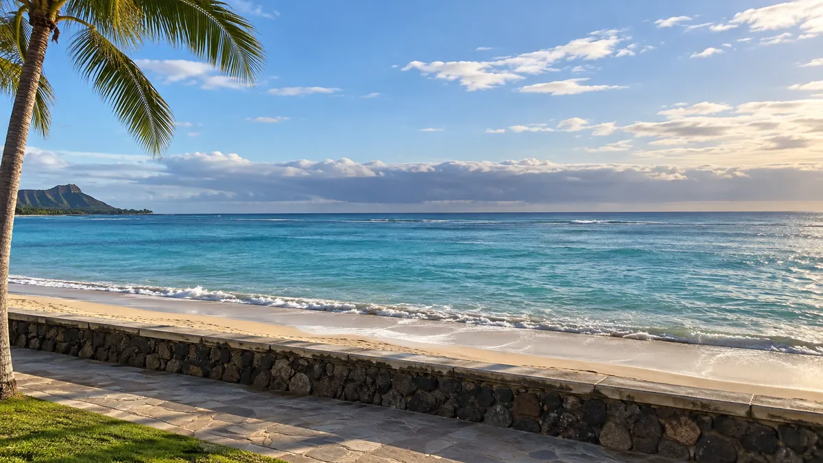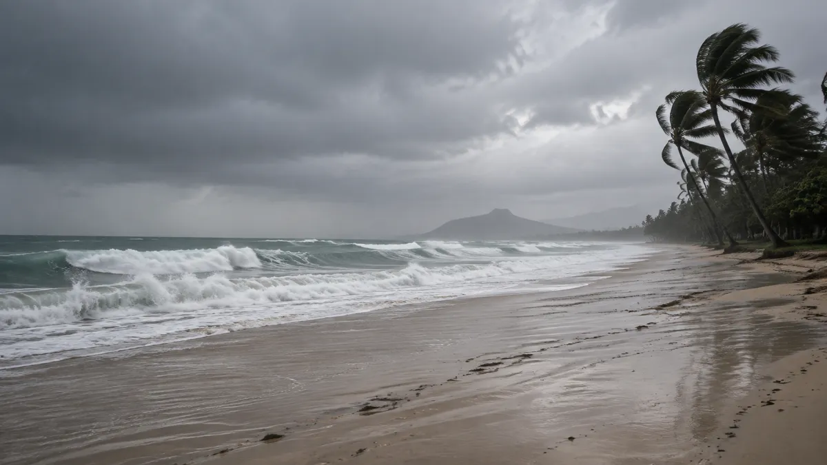
Hurricane Lowell is sitting several hundred miles south-southwest of Kauai, and the forecast has it turning north and passing west of the island late Monday into early Tuesday. We went through the Sunday morning advisories line by line, because the word hurricane makes people start canceling things, and the advisories say something more specific than that. For an Oahu stay this is not really a wind story. It is a water story — surf, rain, and a flood watch that covers every main island.
What happened
The Central Pacific Hurricane Center’s advisory posted at 2 a.m. HST on Sunday, Sept. 6 has Lowell as a Category 3 hurricane with maximum sustained winds of 125 mph, centered near 14.4°N 163.7°W, moving north-northwest at 6 mph with a minimum central pressure of 943 millibars.
A few hours earlier, the National Weather Service office in Honolulu issued a Hurricane Local Statement at 11:12 p.m. HST Saturday headlined “Lowell Remains a Powerful Hurricane as It Begins to Turn Northward,” putting the center about 610 miles south-southwest of Lihue.
The Honolulu Star-Advertiser’s Sept. 5 report, last updated at 11 p.m., says the storm is expected to pass west of Kauai County late Monday into early Tuesday, and reports forecasters saying that “a turn toward the north is expected on Sunday, followed by a north-northeastward motion with an increase in forward speed Sunday night and Monday.” The same paper tracked the intensity coming down across Saturday: 145 mph at 11 a.m., 130 mph at 5 p.m., 125 mph at 11 p.m. The headline number moved 20 mph in twelve hours, which is worth holding onto.
Posted as of the Sunday morning advisories:
| Alert | Where it applies | Through |
|---|---|---|
| Tropical Storm Watch | Kauai and Niihau | In effect |
| Hurricane Watch | Papahanaumokuakea Marine National Monument, Nihoa to French Frigate Shoals | In effect |
| Hurricane Warning | Hawaiian offshore waters, 40 to 240 nautical miles out | In effect |
| Flood Watch | All main Hawaiian Islands | 6 p.m. HST Tuesday |
| High Surf Advisory | South and east facing shores statewide, plus west facing shores of the Big Island | 6 a.m. HST Tuesday |
The tropical storm watch is as stated in the local statement above; the flood watch and the surf advisory are as issued by NWS Honolulu on Saturday afternoon. The Papahanaumokuakea watch and the offshore-waters warning are as listed by the Star-Advertiser.
What it changes for a Waikiki stay
Wind: almost nothing, per the current statement. The Hurricane Local Statement puts the wind threat on Kauai and Niihau and then says of the rest of the state, “Elsewhere across the Hawaiian islands, little to no impact is anticipated.” That is the sentence people are looking for when they ask whether to move a flight, and the one that gets lost under a Category 3 headline.
Rain: the real Oahu item. The flood watch issued at 3:44 p.m. HST Saturday runs from Sunday evening through Tuesday afternoon and covers all main Hawaiian Islands. Its wording is plain: “Flash flooding caused by excessive rainfall is possible,” and flood-prone roads and low-lying areas “may be closed due to elevated runoff and overflowing streams,” with urban areas the ones that “may receive more significant flooding.” For Oahu through the Big Island, the local statement’s line is “Prepare for dangerous rainfall flooding having possible significant impacts.”
Surf: the item that lands directly on Waikiki. Waikiki faces south, and the high surf advisory in effect until 6 a.m. HST Tuesday reads “Surf up to 14 feet along east facing shores. Surf up to 12 feet along south facing shores, increasing to 14 feet by Sunday night.” The impact line is “Moderate. Strong breaking waves and strong currents will make swimming dangerous,” and the local statement adds that surf “is expected to increase quickly on south and west facing shores Sunday night, reaching warning levels by Monday.” The Star-Advertiser puts storm surge at 1 to 3 feet for Kauai County and up to a foot for Oahu.
So the practical translation for a Waikiki week: the beach is the thing that changes, not the flight.
What we would do — and what we wouldn’t
If we had a Waikiki week starting tomorrow, we would not move it on this forecast. That is our call about our own trip, not advice for yours, and it applies to Oahu only — Kauai is a different question, and people there are being told by their own county to finish preparations.
What we would change is small and boring, which is how we like it.
- Beach off the list until Tuesday. Sunday night through Tuesday morning, our walk stays up on the sidewalk side rather than down at the water. The weather service precautionary line is “Heed all advice from ocean safety officials. When in doubt, don’t go out,” and we are not going to improve on it.
- Groceries early Sunday, not Monday afternoon. Beer and wine from Longs, Target or Waikiki Market, fruit, coffee for the room. Doing that run before the rain window opens costs nothing and removes a decision later.
- Nothing else. Our default day is coffee in the room, a walk, an early happy hour, then takeout eaten indoors with the windows open. A few rainy days do not edit that plan. For the indoor version of the 2 p.m. slot, our writeup of Yard House’s happy hour covers a room you can sit in while it comes down outside, and where we usually stay explains why a suite with a kitchen makes a rain day cheap rather than annoying.
Two branches that are not ours:
- If you drive, the flood watch language about flood-prone roads and low-lying areas is the line to read twice. We do not rent a car, so we have no route advice to offer.
- If your week includes a Kauai hop, that is the piece we would rework rather than the Oahu part. The Kauai Marathon and Half Marathon are canceled. The Star-Advertiser reports five refuge areas identified on Kauai, not open as of that Saturday-night update, and the Kauai Emergency Management Agency urging residents to complete preparations. If a change-fee waiver exists for that leg, it will show up on your airline’s travel-alert page, which updates faster than we do.
Before you plan around this
Everything above comes from advisories issued between 3:44 p.m. HST Saturday, Sept. 5 and 2 a.m. HST Sunday, Sept. 6, checked Sept. 6. Advisories are reissued several times a day, and a track several days out is a forecast, not a schedule. The intensity sliding from 145 mph to 125 mph in one day shows how fast quoted numbers go stale.
Re-verify before you act on any of it: the Central Pacific Hurricane Center for the storm itself, and NWS Honolulu for which watch or warning covers the island you are standing on. We could not confirm anything about airport operations or airline waivers from a primary source Sunday morning, so if that matters to your itinerary, go to your airline rather than to us.
On Oahu, this week, our answer is that we would still go — and stay out of the water while we do it.